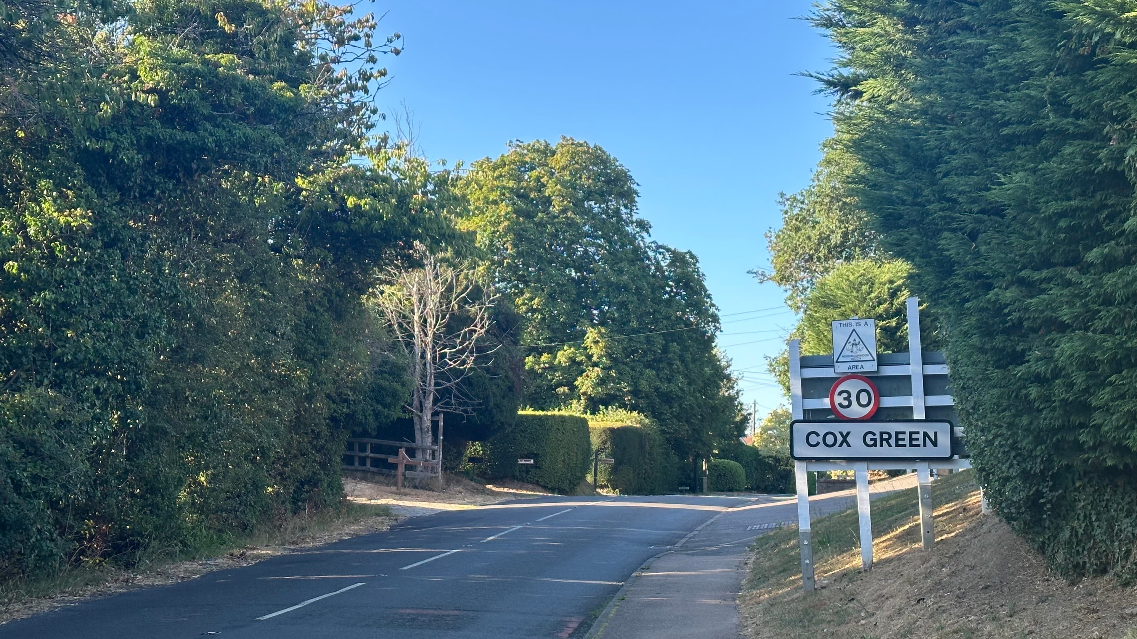
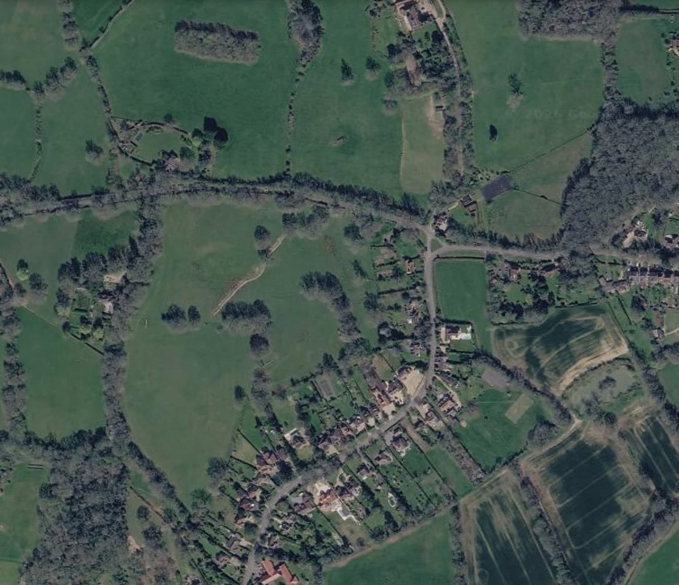
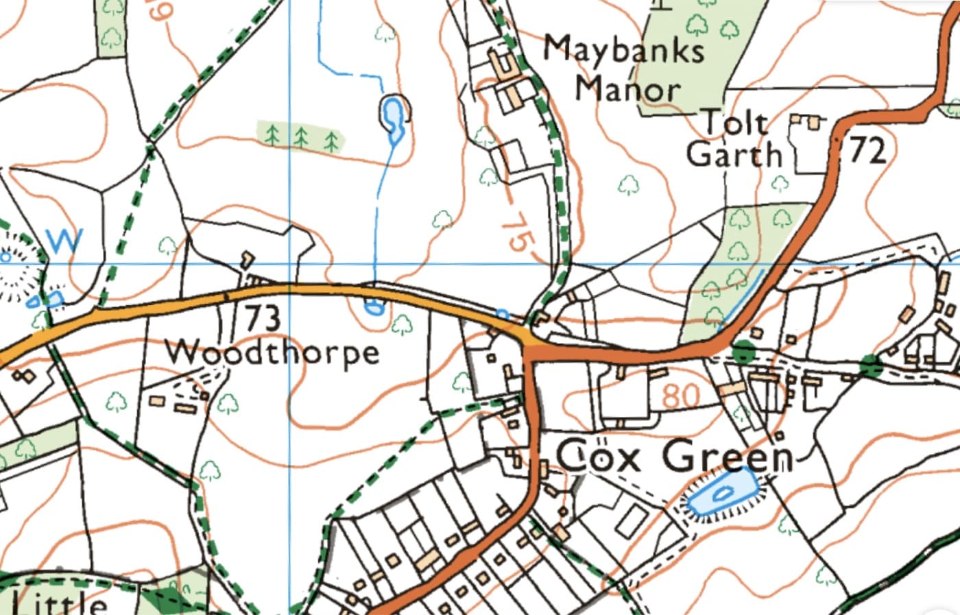
Seen from the air, the shape of the hamlet is clear: only just over 60 houses and their gardens gathered along the lane, with fields, hedgerows and mature woodland reaching out in every direction.
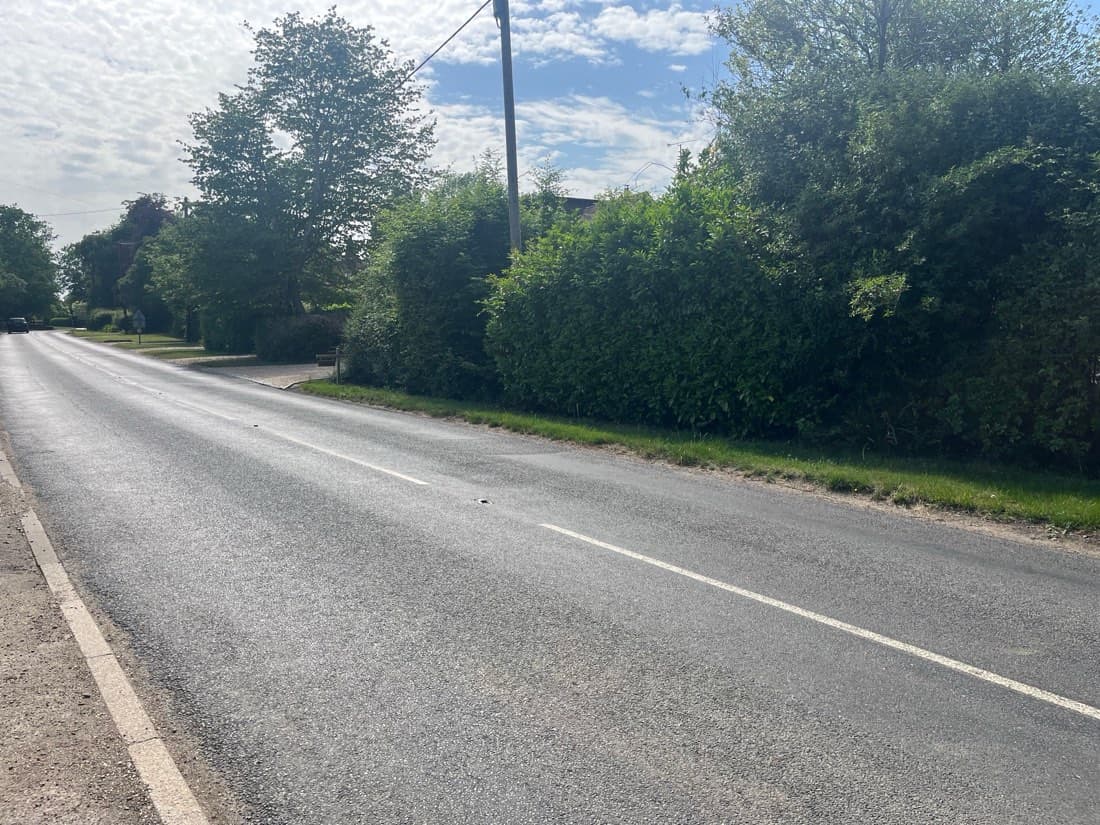
Virtually all of these houses are situated in strips on either side of the road, to which they each have direct access. There is no backland development: the built edge and the countryside meet along a single line.
That balance of a small settlement held within open countryside is what gives Cox Green its character, and it is why changes to the land around it matter so much.
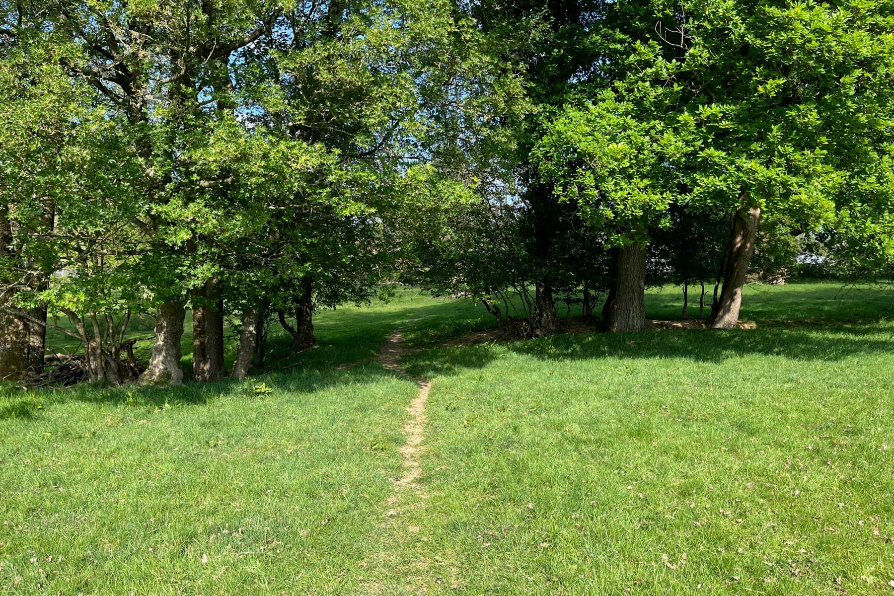
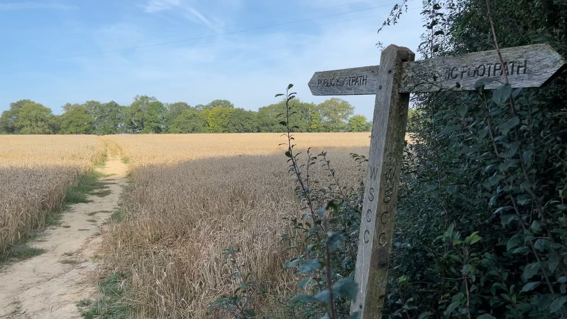
The public footpath towards Crouchers
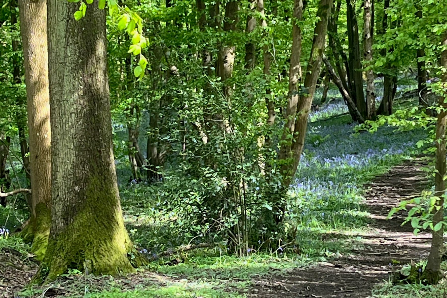
Bluebells along the Sussex Border Path
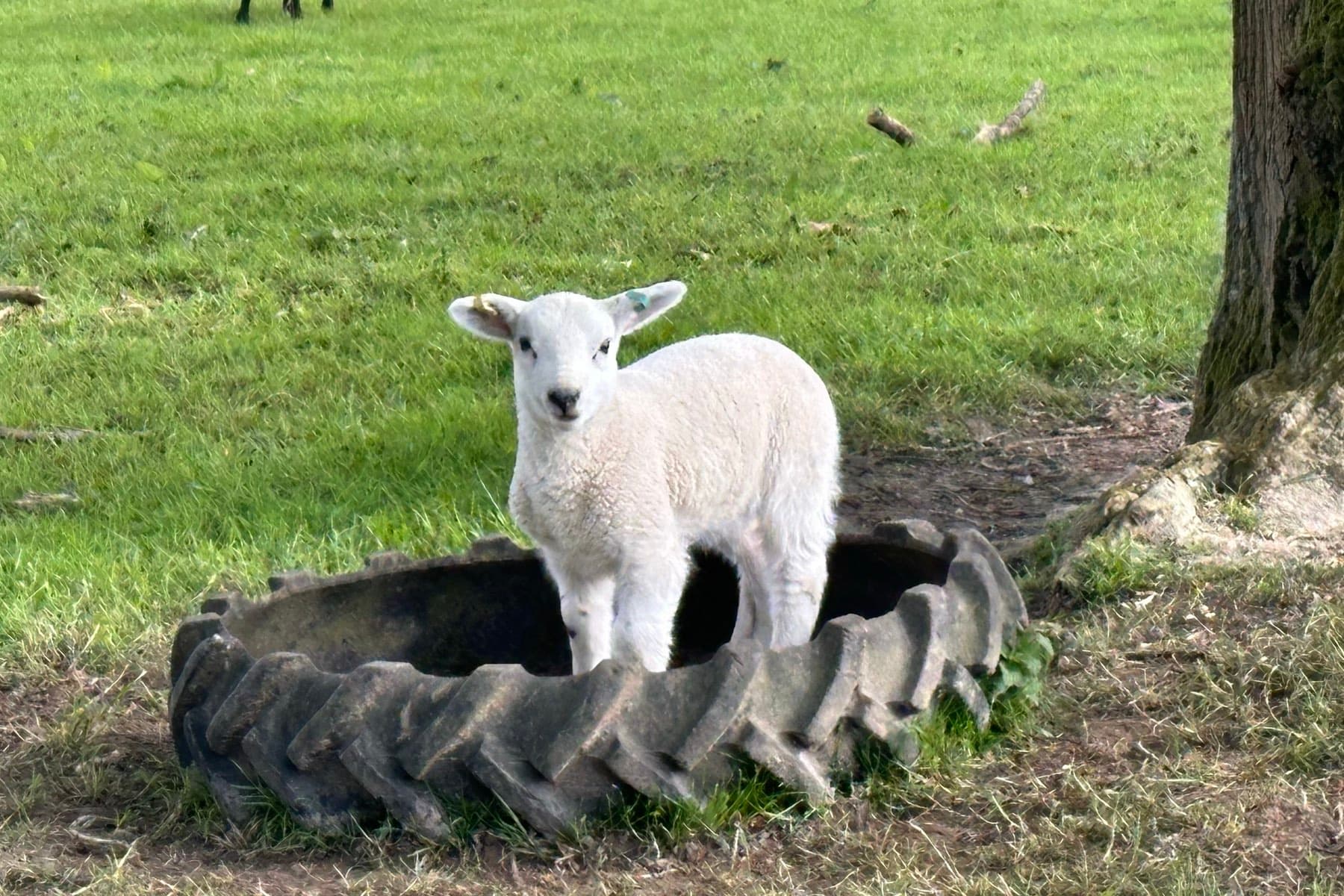
A lamb finds a vantage point
Looking towards Baynards Lane from the border path
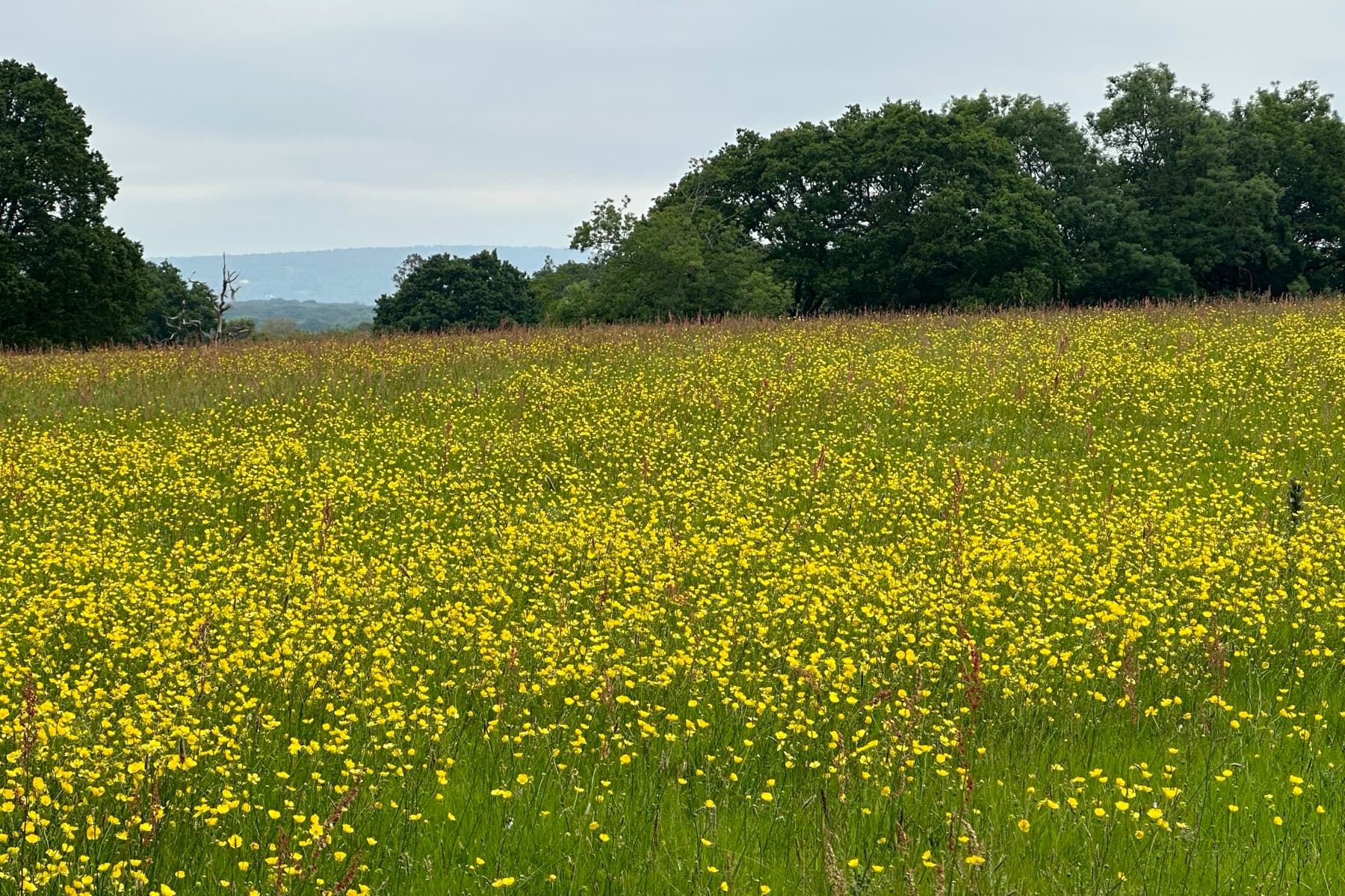
Buttercup meadow, early summer
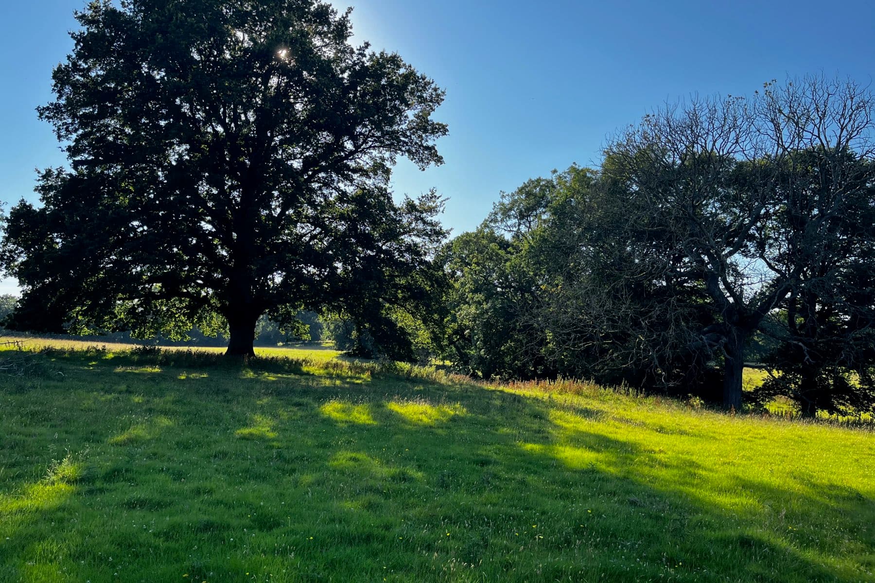
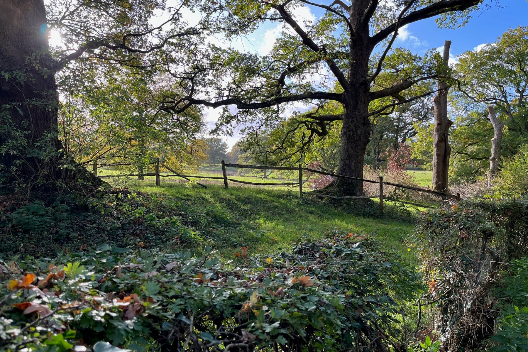
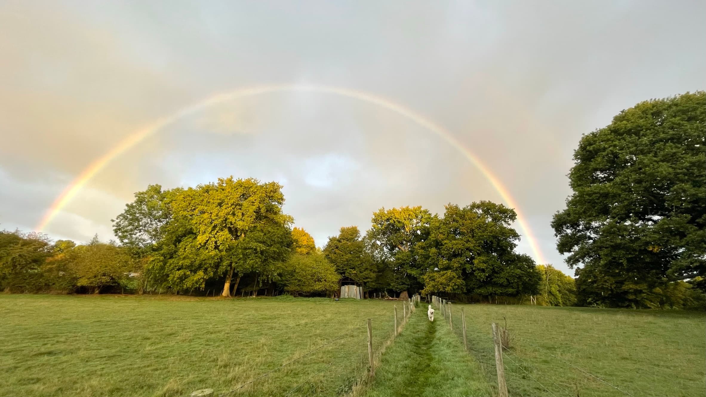
Historic oaks seen from the footpath
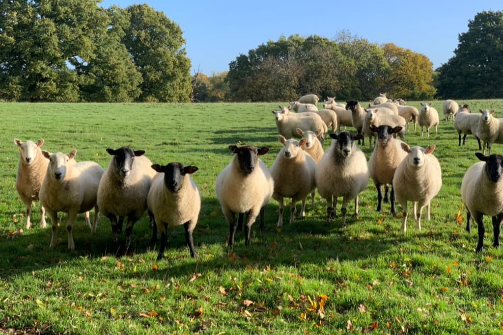
The flock in autumn light
From Baynards Lane across Crouchers land to the pollarded trees
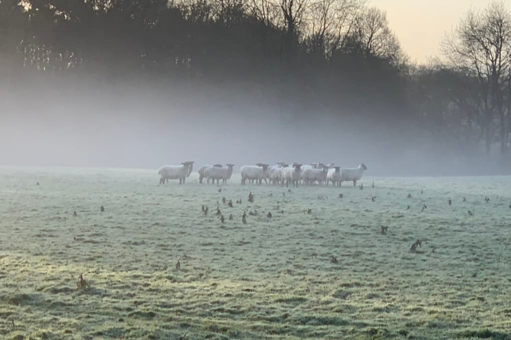
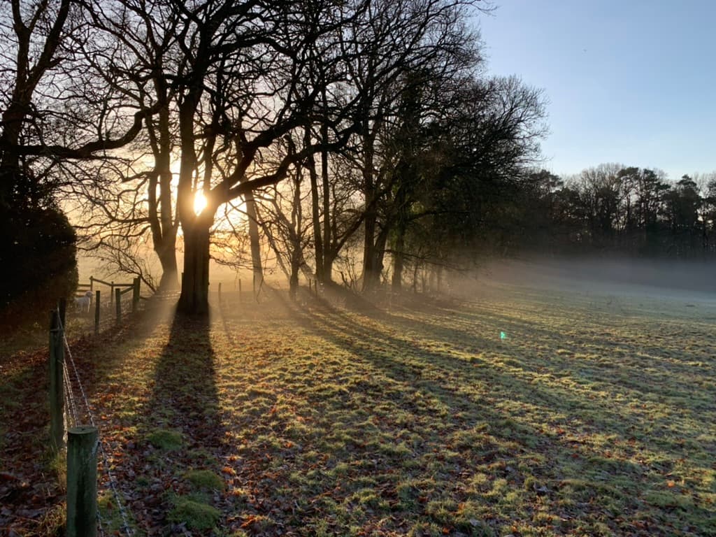
Sheep in the frost and morning mist
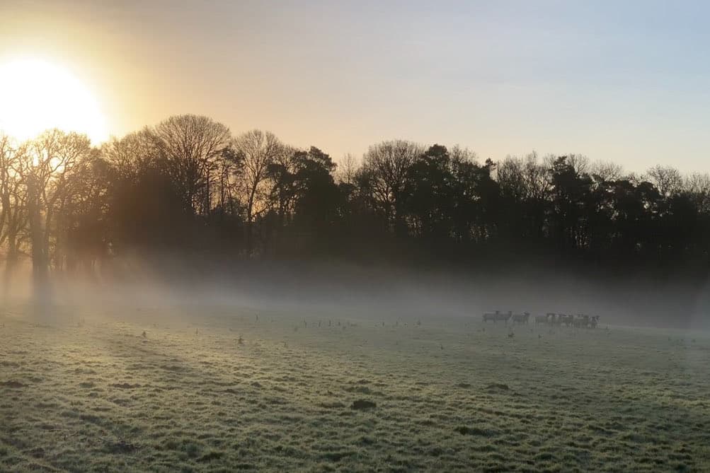
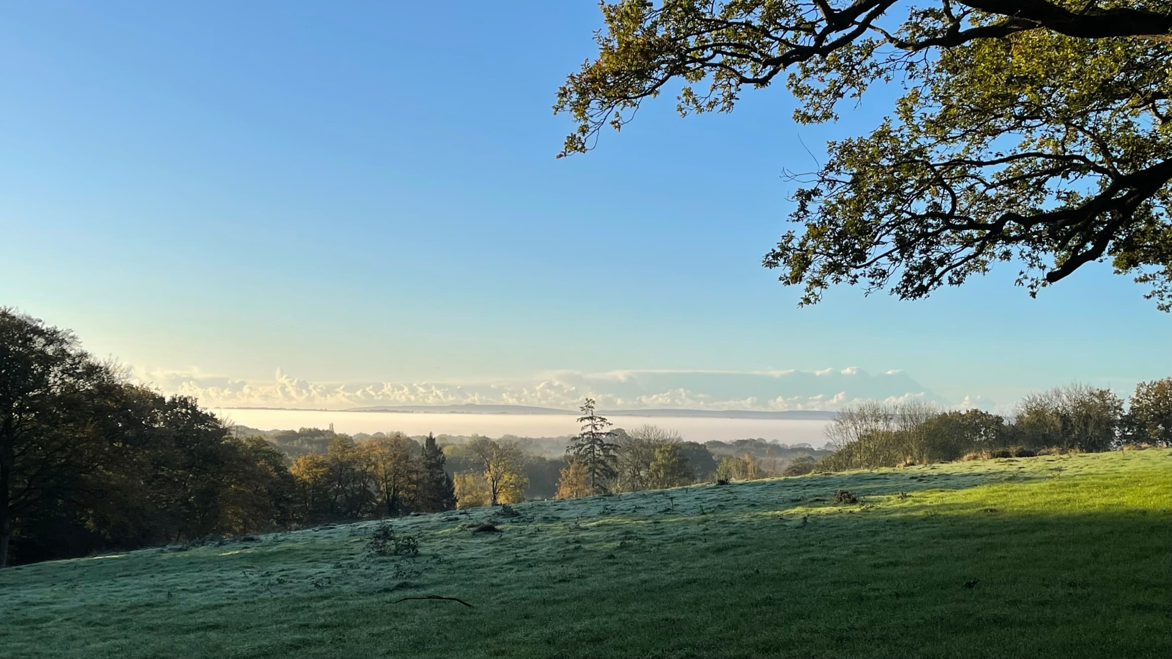
Winter mist at first light
Landscape & life
Footpaths, fields and familiar views
From paths crossing farmland to mature woods and broad southern views, Cox Green rewards exploration at a slower pace. Its lanes connect homes and neighbours; its paths connect the hamlet to the wider countryside.
Public footpaths cross the surrounding fields in every direction, so much of the countryside here is open to anyone on foot. On a clear day those fields give long views to both the North Downs and the South Downs.
Public footpaths lead out into the surrounding landscape.
Stories of place
A living rural community
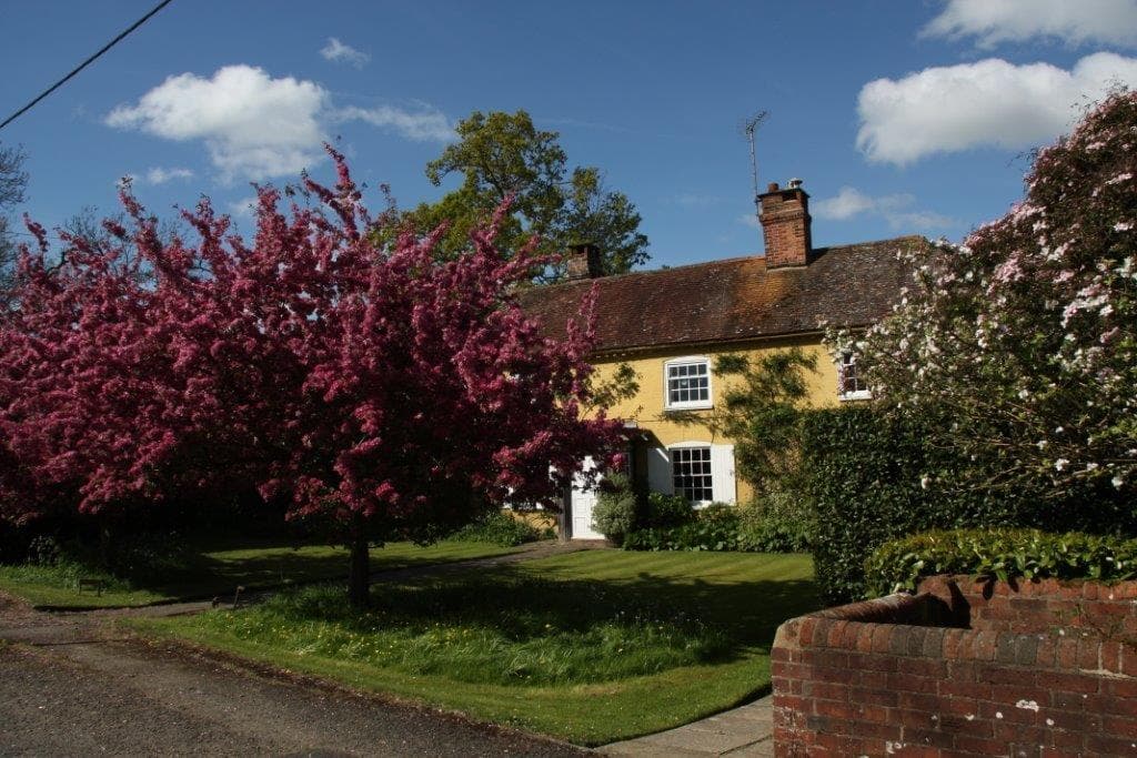
Cox Green’s character comes not only from its countryside, but from the people and places within it. Traditional properties, gardens and working land sit alongside a close network of neighbouring communities.
The history of the hamlet reaches across today’s county and parish boundaries: how the roadside settlement grew after the Lynwick estate was broken up in 1922, and how a boundary review came to divide one community between two counties.
Cox Green’s rural character is shaped not only by its open fields and views, but by a rich network of mature trees, hedgerows, ponds, grassland and woodland. Together, these create valuable habitats and natural corridors through which wildlife can feed, shelter and move across the landscape.
Cox Green is a hamlet, so its shops, schools and surgeries sit in the villages around it, and it has always looked both ways across the border, north to Cranleigh, Ewhurst and Ellen’s Green as much as south to Rudgwick and Bucks Green.
A single bus route serves Cox Green: Stagecoach service 63, running between Guildford and Horsham by way of Cranleigh, Ellen’s Green and Rudgwick. It calls here roughly once an hour on weekdays, and there is a Saturday service, but no buses at all on Sundays or bank holidays. The last bus of the day goes early in the evening, so it is worth checking the Stagecoach 63 timetable before relying on it.
On foot and by bike there is rather more. The Downs Link passes close by, running along Baynards Lane towards Baynards, where the platform of the old railway station still stands. Some maps still show the lane by its old name of Cox Green Road. It follows the dismantled Cranleigh and Steyning lines for some 37 miles, joining the North Downs Way near Guildford to the South Downs Way at Steyning, and is open to walkers, cyclists, horse riders and wheelchair users alike. The signed Surrey Cycleway also runs through Cox Green on its circuit of the county’s quiet lanes.
For everything else, a car remains a practical necessity: one of the realities of living somewhere this rural.
Cox Green straddles a county boundary, so what happens here can fall to either of two planning authorities: Waverley Borough Council on the Surrey side, and Horsham District Council on the West Sussex side.
Because those two authorities keep separate registers, no single official source shows the whole picture. The planning page brings it together, alongside current news and the policies that treat Cox Green as a settlement in its own right.
Residents of Cox Green and the immediate surrounding area can also apply to receive occasional updates by email. Applications will be reviewed before access is approved.